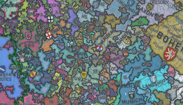
I’ve never really discussed it on Slope, but I’m a lifelong fan of maps, particularly old maps. I own a few ancient maps, some in full color, dating back nearly 500 years. I was thus quite intrigued by this gargantuan online map of medieval Europe. For those of you similarly inclined, please check it out, because the detail is astonishing, and it’s hard to imagine just what a mosaic Europe was back then.