
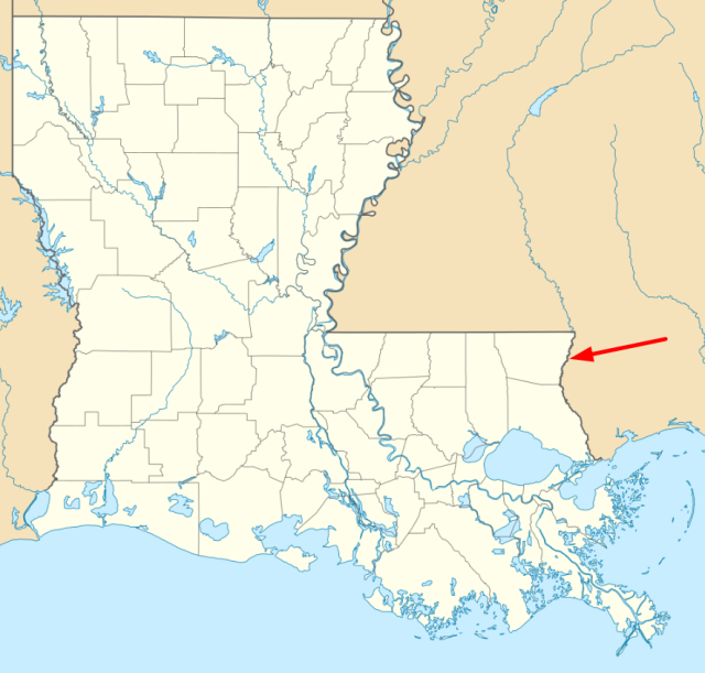
Visual cues prompt me to think. Sometimes it’s a photograph. Sometimes a chart. Today, it was a map: specifically, a map of my birthplace, which is the impoverished, crime-ridden, dying little town of Bogalusa, Louisiana.
Now, with a description like that, you would rightly think it must be an awful place to live. And it is, being one of the most crime-ridden places in the country, on a pro rata basis.
It wasn’t in the 1960s, however, at least if you were white. And the racial segregation wasn’t nuanced or subtle. On the contrary, it was by design, and literally something you could see in black and white, right in front of your eyes. Below is the plan for the newly-formed town, which was created as a place surrounding a new paper mill.
The design of the town was simple: the paper mill was the center of the universe, the “commercial” (that is to say, regular) part of the town was all located to the north of the Bogue Lusa creek, and the workers were all to the south of the river.

Closer inspection reveals that the workers themselves were racially divided. As you can see in the map above, to the west of the mill were “Homes of Mill Operatives” and, to the east, “Homes of Mill Operatives (Colored and Foreign)“. Quite clearly, being “colored” or “foreign”; in the early 20th century in rural Louisiana was no picnic. Bogalusa had its own ghetto, right from day one.
Now, I have no memories of the place, having moved away with my family when I was all of two years old, although I visited there every Christmas to see all my relatives. I was curious, though, to see what a map of the town looked like today, and it’s easy to see the original divisions even now, over a century later.
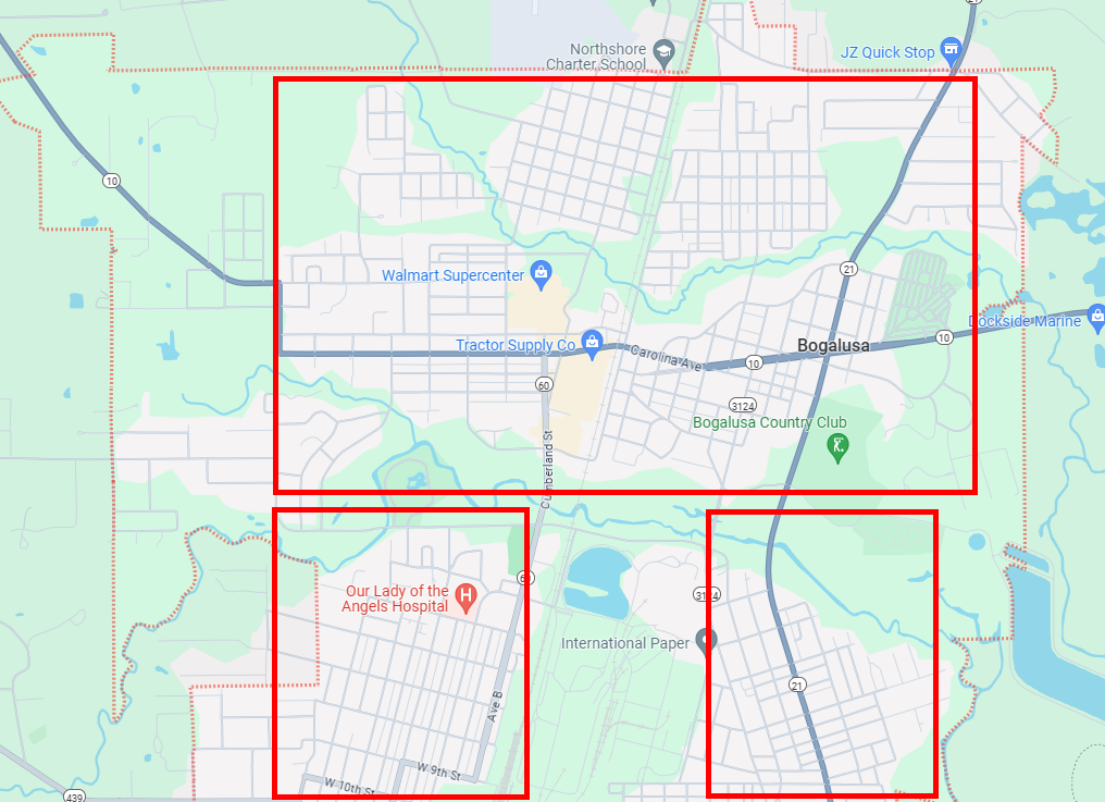
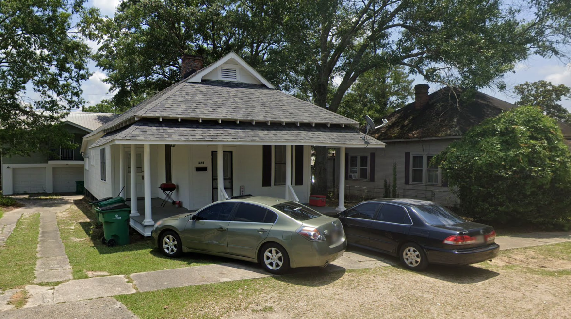
As an experiment, I used Street View to drop randomly into a point of the original “white” part of town and the original “colored” part of town. I want to be clear, I didn’t roam around to find a certain kind of house. I just dropped a pin randomly within each rectangle. For the lower-left portion, the white part of town, I saw this:
For the lower-right portion (that is, the colored/foreign worker part of town from 1911), I saw this:
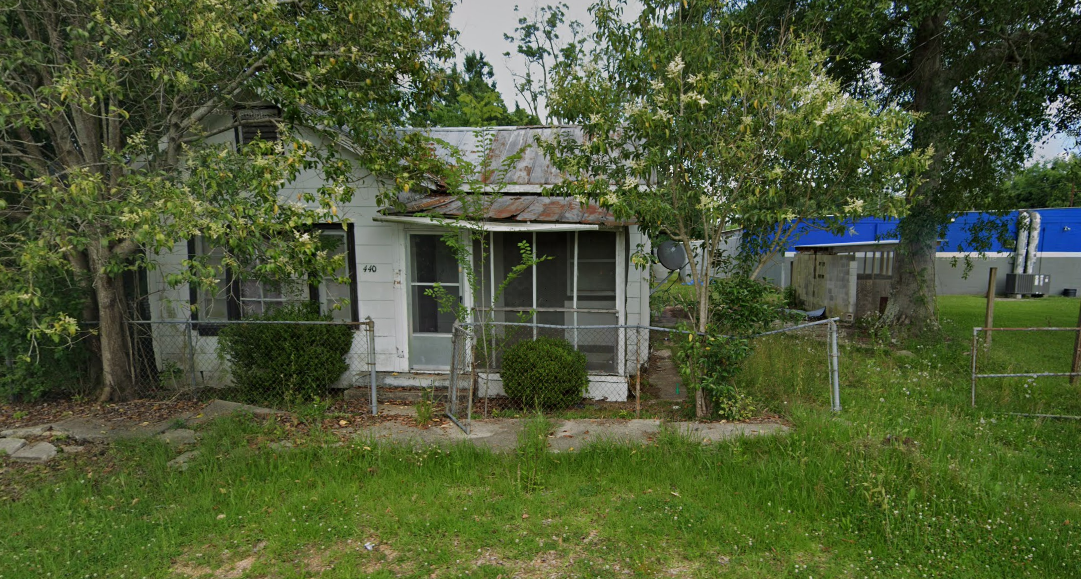
Thus, 120 years after this map was drawn, the divisions of the town persist.
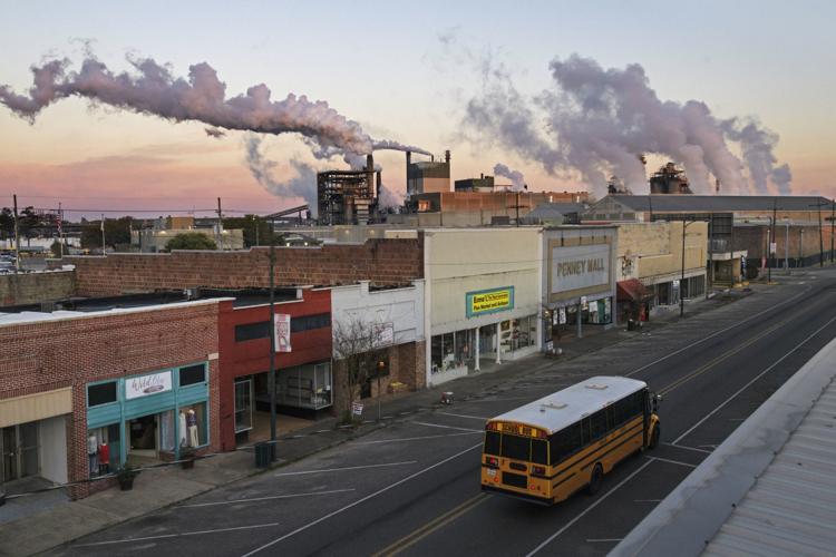
Worse yet, the town is dying, year after year. When I lived there, Bogalusa had about 20,000 people. Today, it’s more like 10,000. Losing 50% of your population is bad for everyone who sticks around. House prices fall. Stores close. Town government and police ranks decrease. Schools get worse. Places to buy basics like gas and food close their doors, because there’s no reason to stick around. It’s like watching an unhealthy 85 year old: you know the end is near, and it’s only going to get worse until the end.
We humans are tribal creatures, and although I attach no special pride to my place of origin, as a Louisiana native and a resident there for the first thirteen years of my life, I still consider myself to being from the Bayou State.
As such, I am probably fonder of pelicans than the average American citizen, to say nothing of Andouille sausage, chicory coffee, and beignets. I even felt a morsel of pride that the Speaker of the House is from Louisiana, even though the man evidently possesses only one facial expression.
Anyway, the map just goes to show how much times have changed. It’s hard to believe this was the world my grandparents created and lived in. I think I’ll stay in Palo Alto for the foreseeable future.
